New AI-Powered System Accelerates Flash Flood Detection
A sophisticated new software framework is set to transform how meteorologists predict and respond to flash floods. Known as the Transient Artifact and Continuous Learning System (TACLS), the technology utilizes machine learning to process vast amounts of satellite data in near real-time, identifying atmospheric moisture patterns that often precede severe flooding. By automating the detection of these critical indicators, the system provides human analysts with actionable insights in as little as fifteen minutes, significantly reducing the time required to issue life-saving warnings.
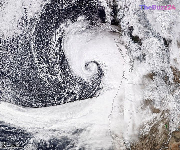
The system functions by analyzing signal delays from the Global Navigation Satellite System (GNSS). As satellite signals pass through the troposphere, water vapor causes measurable delays; TACLS interprets these fluctuations to pinpoint unusual moisture spikes. Trained on over three decades of historical data, the system’s machine learning model distinguishes between harmless atmospheric artifacts and genuine, time-sensitive weather events. When a potential threat is identified, the software generates a clear, intuitive visualization for National Weather Service meteorologists to review.
In rigorous simulations covering severe weather events from 2017 to 2023—including tropical cyclones and atmospheric rivers—TACLS successfully identified 93% of the flash flood warnings that were ultimately issued. The project, which involves collaboration between NASA’s Jet Propulsion Laboratory, the University of California, San Diego, and the National Oceanic and Atmospheric Administration, is currently being integrated into forecasting operations in Southern California. To encourage further innovation, the developers have made the software and its training data open-source, allowing researchers globally to adapt the model for their specific regional needs.
Key Takeaways
- TACLS uses machine learning to analyze GNSS satellite signal delays, identifying atmospheric moisture spikes that indicate potential flash floods.
- The system can generate actionable flood forecasts in approximately 15 minutes, providing meteorologists with faster decision-making capabilities.
- The software is being released as open-source, enabling broader scientific collaboration and customization for different geographic regions.
Editor’s Analysis & Impact
The deployment of TACLS represents a significant leap forward in climate resilience technology. By bridging the gap between massive satellite data streams and human decision-making, this system addresses one of the most persistent challenges in meteorology: the ‘time-to-warning’ bottleneck. As climate change increases the frequency and intensity of extreme weather events, the ability to process data in near real-time is no longer a luxury but a necessity for public safety. The decision to make the framework open-source is particularly strategic, as it invites global participation in refining the model, potentially accelerating the development of localized flood-warning systems worldwide. Looking ahead, the integration of such AI-driven tools into standard meteorological workflows will likely become the industry benchmark, shifting the focus from reactive monitoring to proactive, data-informed disaster mitigation.
Frequently Asked Questions
Q: How does TACLS detect potential flash floods?
A: TACLS monitors signal delays from Global Navigation Satellite System (GNSS) satellites. These delays are caused by water vapor in the atmosphere; the system uses machine learning to identify unusual moisture spikes that indicate an impending flood event.
Q: Is the TACLS software available for public use?
A: Yes, both the TACLS software and the data used to train the model are open-source, allowing scientists and researchers to adapt the technology for their own specific needs or research projects.
AI Disclosure: This article is based on verified data and official reports. Our Team and AI have cross-referenced every financial detail with primary sources to ensure total accuracy.
More from this Category