Hurricane Trudy Intensifies to Category 3, Threatens Mexican Coastline
Hurricane Trudy has rapidly intensified into a major Category 3 storm, posing a significant threat to Mexico’s Pacific coast. Forecasters are closely monitoring its trajectory as it heads towards the southwestern and west-central regions of the country.
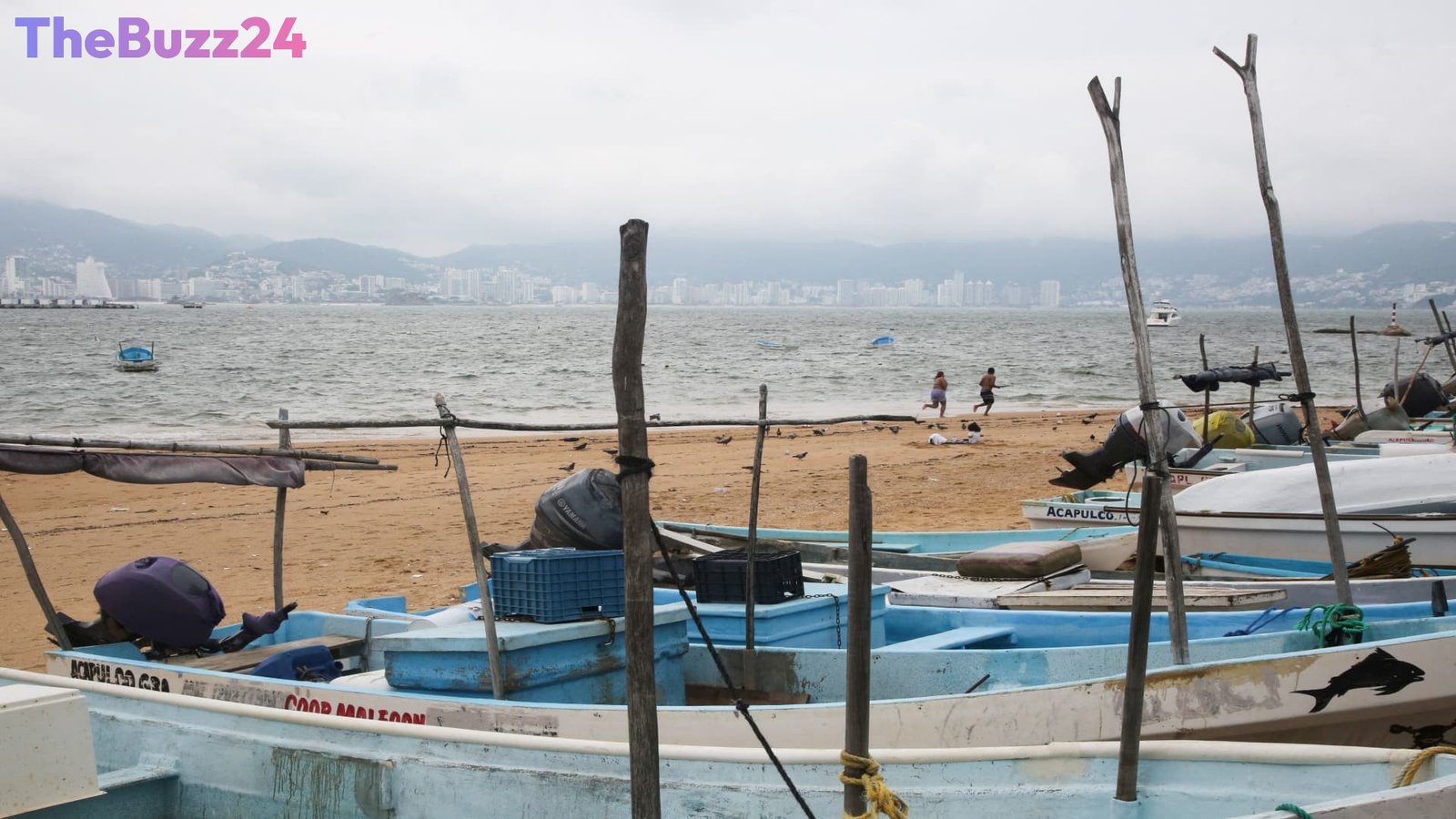
As of early Friday, Trudy was situated approximately 240 miles (385 kilometers) southwest of Acapulco and 335 miles (535 kilometers) south-southeast of Manzanillo. The storm boasts maximum sustained winds of 120 mph (195 kph) and is currently tracking northwest at a relatively slow pace of 6 mph (9 kph).
Authorities have issued a hurricane warning for a stretch of the Mexican coast from Cabo Corrientes northward to Punta San Telmo. Additionally, a tropical storm warning is in effect from Zihuatanejo extending up the coast to Manzanillo, signaling the potential for dangerous conditions including heavy rainfall, storm surge, and damaging winds.
Meanwhile, further northwest, Tropical Storm Simon is expected to dissipate into a remnant low pressure system. In a separate development, Tropical Storm Champi, located east of Guam, has seen its winds increase to 52 mph (86 kph) and is moving west-northwest. Typhoon and tropical storm warnings have been issued for Guam and its surrounding islands.
Key Takeaways
- Hurricane Trudy has strengthened to a Category 3 major hurricane.
- The storm is currently tracking towards Mexico's Pacific coast, with hurricane and tropical storm warnings in effect.
- Other tropical systems, Tropical Storm Simon and Tropical Storm Champi, are also being monitored in the Pacific.
Editor’s Analysis & Impact
The intensification of Hurricane Trudy to a Category 3 storm underscores the volatile nature of Pacific hurricane seasons and the critical importance of timely warnings for coastal communities. This event highlights the ongoing need for robust disaster preparedness and early warning systems in regions susceptible to tropical cyclones. The proximity of other developing systems like Champi also suggests a potentially active weather pattern in the broader Pacific region, requiring continued vigilance from meteorological agencies and affected populations alike. The economic and social impact on coastal Mexico will depend heavily on the storm’s final landfall intensity and trajectory.
Frequently Asked Questions
Q: What is a Category 3 hurricane?
A: A Category 3 hurricane, according to the Saffir-Simpson Hurricane Wind Scale, has sustained winds between 111-129 mph (178-208 kph). These storms are capable of causing devastating damage, including extensive structural damage to well-built homes and significant destruction of trees and power lines.
Q: What are the potential impacts of Hurricane Trudy on Mexico?
A: Hurricane Trudy, as a Category 3 storm, can bring dangerous storm surge, heavy rainfall leading to flooding, and destructive winds. Coastal areas under hurricane warnings are at risk of significant damage, and inland areas could experience widespread flooding from torrential rain.
Q: What is the difference between a hurricane warning and a tropical storm warning?
A: A hurricane warning means that hurricane conditions are expected within the specified area, typically within 36 hours. A tropical storm warning means that tropical storm conditions are expected, also typically within 36 hours, indicating sustained winds of 39-73 mph (63-118 kph).
AI Disclosure: This article is based on verified data and official reports. Our Team and AI have cross-referenced every financial detail with primary sources to ensure total accuracy.
More from this Category