NASA Evaluation Validates Precision of EarthDEM Geospatial Data
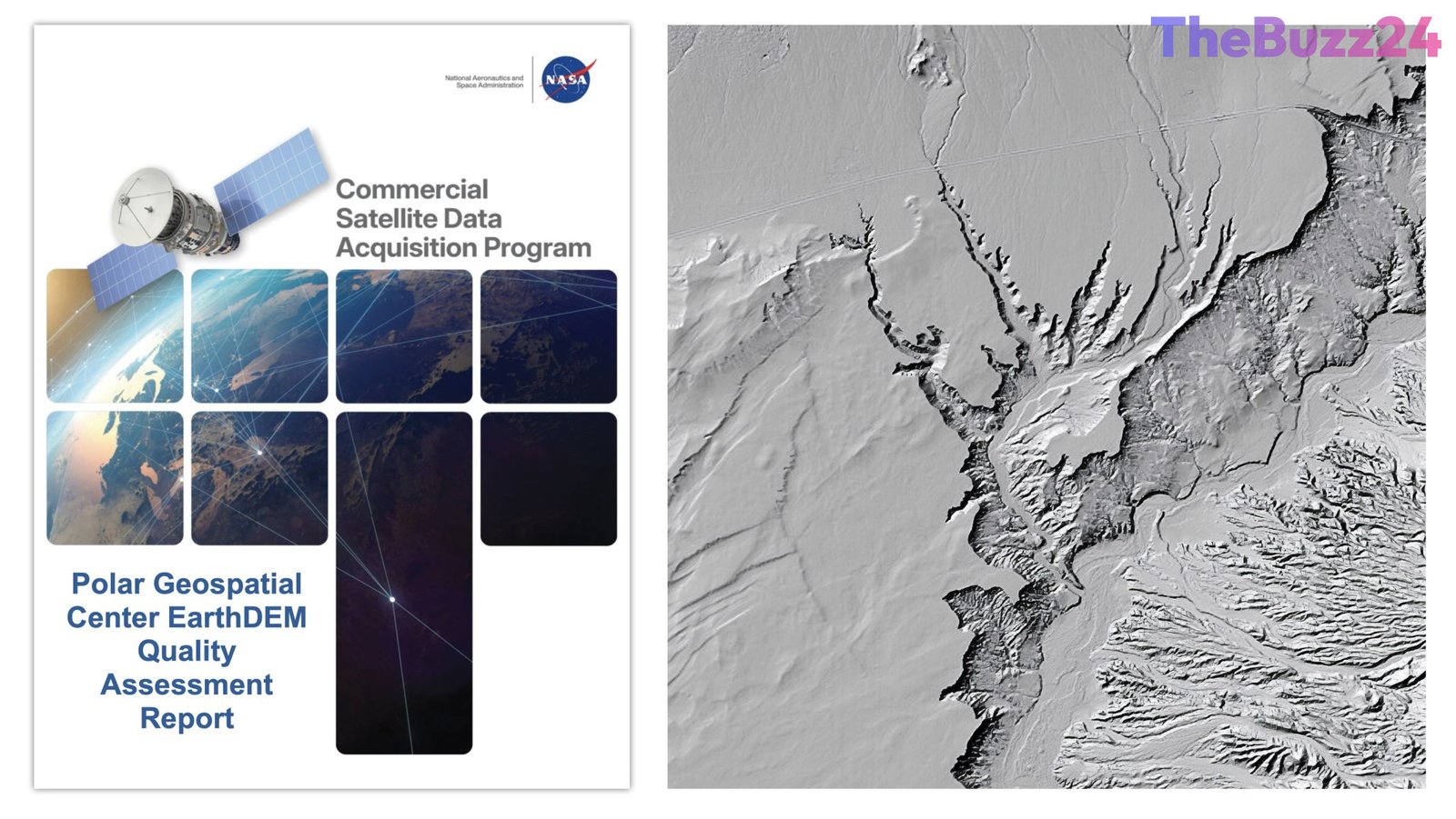
A comprehensive quality assessment has been completed for the Polar Geospatial Center’s (PGC) EarthDEM products, providing critical insights into the reliability of commercial satellite-derived elevation data. Conducted by subject matter experts, the evaluation focused on the horizontal and vertical accuracy of the EarthDEM ‘Mosaic Tile’ and ‘Strip’ Digital Surface Models (DSMs) to determine their suitability for advanced Earth science research.
To test the accuracy of these models, researchers compared the EarthDEM data against airborne lidar samples collected across diverse terrains in the United States and Senegal. The results were highly favorable regarding horizontal precision, with the Mosaic Tile and Strip DSM products achieving Root Mean Square Error Horizontal (RMSEH) values of 0.3 meters and 0.5 meters, respectively. These figures met the provider’s specifications, earning the products an ‘Excellent’ rating for horizontal accuracy.
Vertical accuracy, however, showed more variability depending on land cover types and cloud cover metadata. While the products exceeded the provider’s vertical specifications, the performance was categorized as ‘Basic’ due to fluctuations in accuracy ranging from 4.6 to 6.8 meters. Despite these variations, the report concludes that EarthDEM data is a valuable asset for scientific applications, provided that researchers carefully account for specific data characteristics such as cloud masking and surface feature resolution.
Beyond technical performance, the assessment included a thorough review of existing documentation. The findings indicate that the EarthDEM product is well-supported by comprehensive user guides, peer-reviewed literature, and accessible repositories. This validation reinforces the role of commercial satellite imagery in augmenting government-led Earth observation efforts, offering a cost-effective pathway for advancing global environmental research.
Key Takeaways
- EarthDEM products achieved an 'Excellent' rating for horizontal accuracy, meeting all provider specifications.
- Vertical accuracy was rated as 'Basic,' with performance varying based on land cover and cloud cover metadata.
- The data is deemed suitable for NASA Earth science research, provided users account for specific limitations like cloud masking and data voids.
Editor’s Analysis & Impact
The validation of EarthDEM data marks a significant milestone in the integration of commercial satellite imagery into public sector scientific research. By establishing a standardized framework for evaluating these products, the industry is moving toward a more transparent and reliable ecosystem for geospatial data. The ‘Basic’ vertical accuracy rating highlights the ongoing challenge of reconciling high-resolution commercial data with the rigorous requirements of climate and geological modeling. Moving forward, as commercial satellite constellations expand, the ability to effectively utilize these datasets will depend on the continued refinement of metadata and cloud-masking algorithms. This report serves as a blueprint for how government agencies can leverage private-sector innovation to fill gaps in traditional Earth observation, ultimately accelerating the pace of environmental monitoring and disaster response capabilities.
Frequently Asked Questions
Q: What is the primary purpose of the EarthDEM quality assessment?
A: The assessment aims to evaluate the horizontal and vertical accuracy of EarthDEM products to determine if they meet the standards required for NASA Earth science research and applications.
Q: How did the EarthDEM products perform in the evaluation?
A: The products received an 'Excellent' rating for horizontal accuracy, while vertical accuracy was rated as 'Basic' due to performance variations influenced by land cover and cloud cover.
AI Disclosure: This article is based on verified data and official reports. Our Team and AI have cross-referenced every financial detail with primary sources to ensure total accuracy.
More from this Category