Michigan Faces Hydrological Crisis as Record Rainfall Triggers Widespread Flooding
Michigan is currently confronting a severe flooding crisis as an exceptionally wet spring season pushes the state’s infrastructure to its limits. A combination of relentless rainfall throughout March and early April, compounded by rapid snowmelt in the northern territories, has caused rivers to breach their banks and inundate surrounding communities. State authorities have issued urgent flood warnings across both the upper and lower peninsulas as the deluge continues to disrupt daily life.
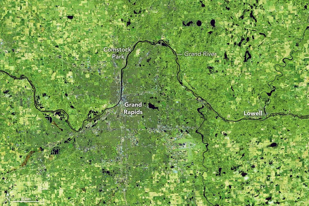
The Grand River, which serves as the state’s longest waterway, has become a primary focal point for emergency responders. Near Grand Rapids, water levels have reached critical flood stages, placing residential neighborhoods and essential infrastructure at significant risk. Meteorological data reveals that the region has faced nearly double the typical rainfall for March, with early April precipitation already exceeding monthly averages by nearly two inches. Officials remain concerned that continued rainfall could push the river toward historic, record-breaking levels.
In northern Michigan, the situation is exacerbated by the convergence of heavy precipitation and melting snowpack, which has overwhelmed local drainage and flood-control systems. The impact has been tangible, with multiple roads washed out and airport runways rendered inoperable due to standing water. State officials are maintaining a constant watch over reservoirs and dams that are nearing maximum capacity, leading to the issuance of evacuation warnings for residents in high-risk zones. Emergency management teams are currently operating on high alert to mitigate the ongoing hydrological threat.
Key Takeaways
- Record-breaking rainfall and rapid snowmelt have caused widespread flooding across Michigan's upper and lower peninsulas.
- The Grand River has reached critical flood stages, threatening residential areas and infrastructure near Grand Rapids.
- Emergency management teams have issued evacuation warnings as local dams and reservoirs approach maximum capacity.
Editor’s Analysis & Impact
The current flooding in Michigan highlights the increasing vulnerability of regional infrastructure to extreme weather events driven by shifting climate patterns. The combination of heavy spring precipitation and rapid snowmelt creates a compounding effect that legacy drainage and flood-control systems were not originally designed to handle. From an economic perspective, the damage to transportation networks—including road washouts and airport closures—poses a significant logistical challenge for local supply chains and regional commerce. Looking ahead, this crisis will likely accelerate state-level discussions regarding the modernization of water management infrastructure and the necessity of more robust climate-resilient urban planning. As these events become more frequent, the financial burden on state emergency funds and insurance markets is expected to rise, necessitating a shift toward proactive rather than reactive flood mitigation strategies.
Frequently Asked Questions
Q: Why is Michigan experiencing such severe flooding this spring?
A: The flooding is caused by a combination of record-breaking rainfall throughout March and early April, paired with the rapid melting of the winter snowpack in northern regions.
Q: Which areas of Michigan are most affected by the current flood warnings?
A: Both the upper and lower peninsulas are affected, with the Grand River area near Grand Rapids and various northern regions experiencing significant infrastructure damage and rising water levels.
AI Disclosure: This article is based on verified data and official reports. Our AI have cross-referenced every financial detail with primary sources to ensure total accuracy.
More from this Category