Pioneering Earth Scientist Dr. Jim Irons Honored with Prestigious Pecora Award for Landsat Legacy
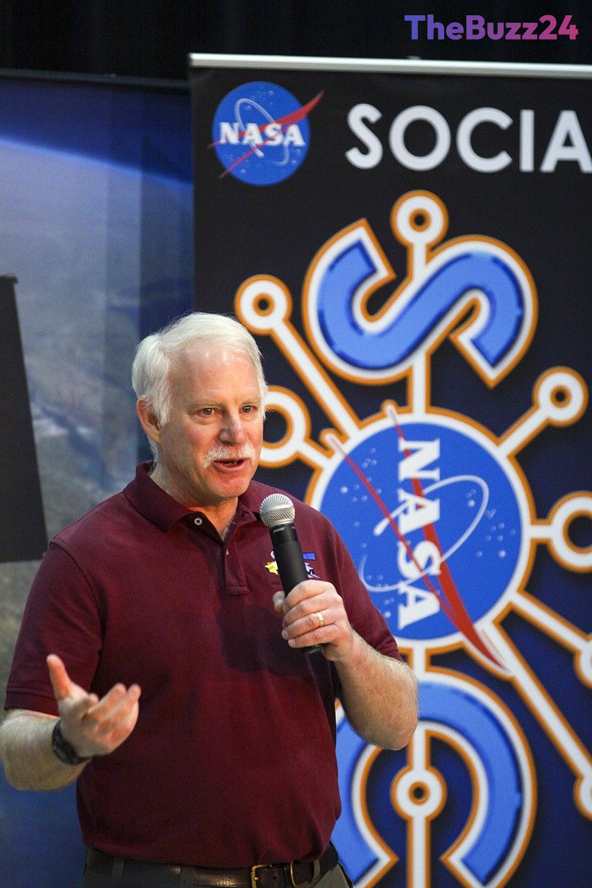
Dr. Jim Irons, an emeritus scientist at the NASA Goddard Space Flight Center, has been awarded the prestigious William T. Pecora Award. The accolade recognizes his decades of transformative leadership and scientific contributions to the Landsat program, a joint initiative between NASA and the U.S. Geological Survey (USGS). Throughout his career, including roles as deputy project scientist for Landsat 7 and project scientist for Landsat 8, Irons played a pivotal role in ensuring the continuity of global Earth-observation data.
Among his most significant achievements was his unwavering advocacy for rigorous data calibration and the preservation of critical sensor capabilities. Irons championed high calibration standards, helping establish Landsat as the global gold standard for satellite imagery. Furthermore, he successfully fought to retain the thermal-infrared sensor on Landsat 8 during a period of intense budgetary and schedule pressures. Today, this thermal data is indispensable for monitoring agricultural water usage, managing wildfires, and calculating evapotranspiration rates through modern platforms like OpenET.
Beyond his technical contributions, Irons served as the director of NASA Goddard’s Earth Science Division, guiding the organization through major disruptions, including the longest federal government shutdown in history and the COVID-19 pandemic. His leadership style emphasized collaboration, stability, and minimizing bureaucratic obstacles for researchers. By fostering strong interagency relationships between NASA and the USGS EROS Center, Irons helped build a collaborative framework that continues to support the development of future missions, including the upcoming Landsat 10.
Reflecting on his career and the future of Earth science, Irons emphasized that persistence is the ultimate key to scientific success. He noted that the Landsat program survived numerous policy shifts, commercialization debates, and technical hurdles only because its team remained dedicated to the mission. As satellite technology evolves to integrate Landsat data with international systems and advanced radar mapping, Irons’ legacy of rigorous science and collaborative leadership remains foundational to understanding global environmental change.
Key Takeaways
- Dr. Jim Irons received the William T. Pecora Award for his instrumental role in shaping the Landsat program and securing long-term Earth-observation data continuity.
- Irons successfully advocated for the inclusion of the thermal-infrared sensor on Landsat 8, which is now vital for tracking global water consumption and agricultural water rights.
- His leadership during critical periods, such as the COVID-19 pandemic, fostered deep collaboration between NASA and the USGS, setting a benchmark for future Earth science missions like Landsat 10.
Editor’s Analysis & Impact
Dr. Jim Irons’ recognition with the Pecora Award highlights the critical importance of long-term, well-calibrated environmental data in an era of accelerating climate change. By fighting to preserve the thermal-infrared capabilities on Landsat 8, Irons secured the data foundation for modern agricultural tech and water management platforms like OpenET. This legacy underscores a broader industry truth: scientific integrity and data continuity must take precedence over short-term budgetary constraints. As the space sector increasingly leans toward commercial partnerships and rapid-deployment small satellites, the Landsat model demonstrates that highly calibrated, government-backed foundational datasets remain irreplaceable. Looking forward, the integration of Landsat 10 with international constellations like Europe’s Sentinel-2 will further revolutionize high-frequency Earth monitoring, proving that interagency and international collaboration is the future of planetary science.
Frequently Asked Questions
Q: What is the William T. Pecora Award?
A: The William T. Pecora Award is a prestigious honor presented to individuals or groups who have made outstanding contributions toward understanding the Earth, managing its resources, and recognizing the benefits of remote sensing.
Q: Why was Dr. Jim Irons' fight for the thermal-infrared sensor on Landsat 8 so important?
A: Initially slated for removal due to budget constraints, the thermal-infrared sensor is now essential for measuring evapotranspiration and water consumption. It is widely used to monitor agricultural water use, adjudicate water rights in arid regions, and track wildfires.
Q: How does data continuity impact climate change research?
A: Climate and environmental changes occur over decades. Continuous, highly calibrated satellite data ensures that scientists can accurately track long-term trends without worrying if discrepancies are caused by changes in sensor performance over time.
AI Disclosure: This article is based on verified data and official reports. Our Team and AI have cross-referenced every financial detail with primary sources to ensure total accuracy.
More from this Category