Charting the Next Decade: Landsat Science Team Unveils Strategic Roadmap for Earth Observation
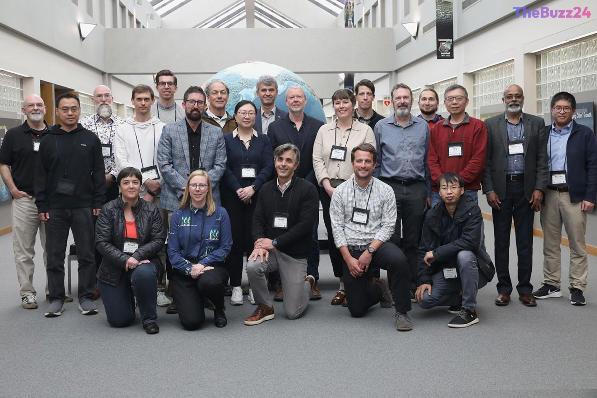
The 2026-2030 Landsat Science Team has officially established a comprehensive strategic roadmap following its inaugural meeting at the USGS Earth Resources Observation and Science (EROS) Center in South Dakota. Bringing together experts from NASA and the USGS, the summit focused on defining the trajectory of the Landsat program, with a specific emphasis on the upcoming Landsat 10 mission and the refinement of Collection 3 data products.
Central to the discussions was the enhancement of interagency collaborations, particularly the Harmonized Landsat and Sentinel-2 (HLS) data initiatives. These partnerships are essential for maintaining the program’s utility across diverse sectors, including agricultural monitoring, water resource management, and the tracking of volcanic and atmospheric phenomena. By aligning these scientific efforts, the team aims to ensure that the global community continues to receive high-quality, actionable environmental data.
Technical working groups also tackled the complexities of future data processing, specifically regarding surface reflectance and thermal imaging. While the team is preparing for the integration of five thermal bands into the Landsat 10 mission, experts noted potential limitations regarding the 18-day repeat cycle for monitoring dynamic aquatic events like algal blooms. To address this, the roadmap emphasizes the need for improved validation infrastructure and optimized data management, including the implementation of nested grids to handle pixel processing and storage more efficiently.
This strategic framework serves as a blueprint for the next five years, ensuring that Earth observation technology remains robust and responsive to global scientific needs. By addressing logistical challenges and prioritizing technological advancements, the Landsat program is positioned to maintain its status as a cornerstone of environmental research and climate monitoring through the end of the decade.
Key Takeaways
- The 2026-2030 Landsat Science Team has finalized a strategic roadmap focusing on the Landsat 10 mission and Collection 3 data products.
- The program is prioritizing enhancements in cloud masking, topography corrections, and the integration of five thermal bands for future missions.
- Experts identified a need for increased investment in validation infrastructure to overcome monitoring limitations caused by the 18-day repeat cycle of Landsat 10.
Editor’s Analysis & Impact
The Landsat program remains the gold standard for long-term Earth observation, and this strategic roadmap signals a shift toward more integrated, high-resolution data processing. By focusing on the harmonization of data with other satellite constellations like Sentinel-2, the program is effectively creating a more cohesive global monitoring network. However, the identified limitations regarding the 18-day repeat cycle highlight a growing tension between the need for consistent, long-term data archives and the demand for high-frequency monitoring of dynamic environmental events. As the industry moves toward more agile, commercial-led satellite constellations, the Landsat program’s ability to maintain its scientific rigor while optimizing storage and processing costs will be critical. The emphasis on nested grids and thermal band integration suggests a future where data accessibility and interoperability are just as important as the raw imagery itself.
Frequently Asked Questions
Q: What is the primary goal of the 2026-2030 Landsat Science Team roadmap?
A: The goal is to define a strategic vision for the Landsat program, focusing on the development of the Landsat 10 mission, the creation of Collection 3 data products, and the improvement of global environmental monitoring capabilities.
Q: Why are experts concerned about the Landsat 10 repeat cycle?
A: The 18-day repeat cycle may be too slow to effectively monitor highly dynamic environmental events, such as harmful algal blooms, which require more frequent observation to track accurately.
AI Disclosure: This article is based on verified data and official reports. Our Team and AI have cross-referenced every financial detail with primary sources to ensure total accuracy.
More from this Category