NASA and USGS Scientists Uncover Hidden Mineral Wealth in California Desert
In a meticulous blend of advanced technology and traditional fieldwork, scientists from NASA and the U.S. Geological Survey (USGS) have recently conducted an intensive investigation in California’s Mojave Desert. Their mission focused on a specific mineral discovery near Barstow, initially identified by a NASA sensor operating from an aircraft. This operation, part of the NASA-USGS Geologic Earth Mapping Experiment (GEMx), aims to pinpoint sources of critical minerals essential for modern industry and technology.
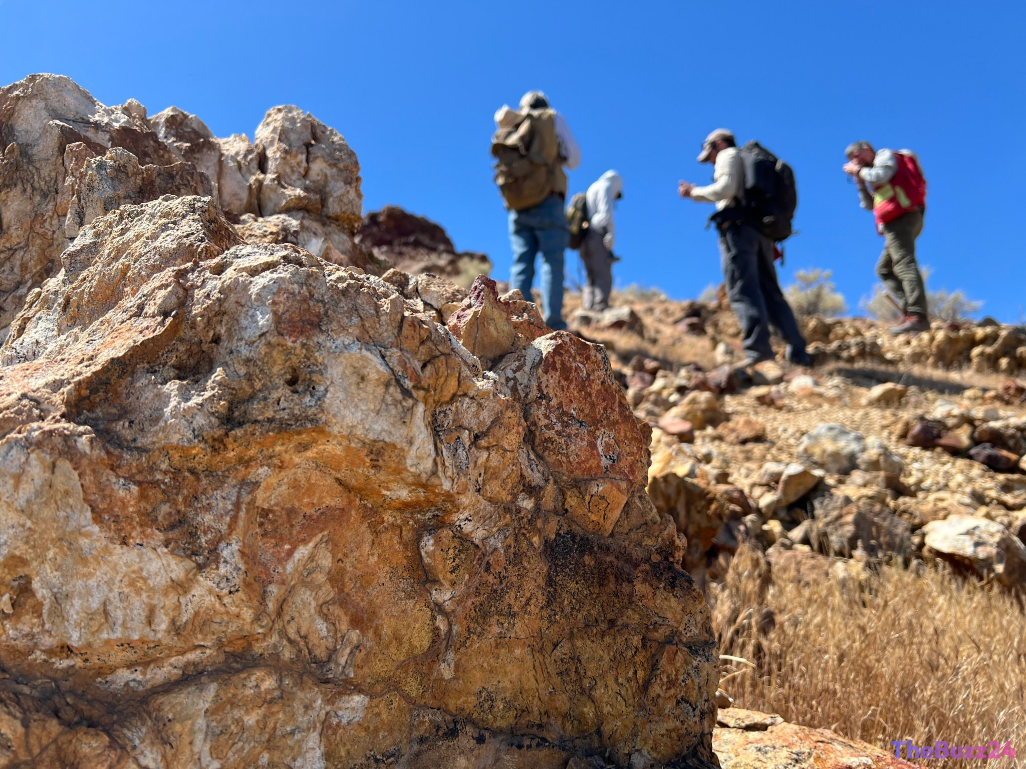
The team, equipped with geological tools like rock picks and hand lenses, ventured into the desert to examine a deposit of topaz. While topaz itself is not the primary target, its presence is a significant indicator. Geologists use topaz as a geological marker because it forms under similar volcanic conditions that often accompany the formation of porphyry copper deposits. These deeper deposits are highly valuable, not only for copper – a metal crucial for global infrastructure – but also for other critical elements such as molybdenum and tellurium, vital for manufacturing everything from advanced alloys to solar panels.
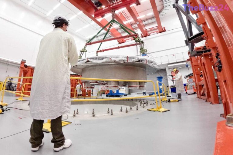
This innovative approach leverages NASA’s cutting-edge AVIRIS-5 sensor, an advanced airborne imaging spectrometer. Mounted on NASA’s high-altitude ER-2 aircraft, AVIRIS-5 analyzes reflected sunlight to detect the unique spectral signatures of minerals on the Earth’s surface. This technology allows scientists to map vast areas with high resolution from the sky, identifying potential mineral hotspots that might otherwise be missed. The data collected from the air is then meticulously ‘ground-truthed’ by geologists on the ground, who collect physical samples for laboratory analysis, much like a forensic investigation.
The GEMx initiative, led by the USGS, is a nationwide effort to modernize mineral mapping across the United States. By combining NASA’s sophisticated remote sensing capabilities with the USGS’s extensive expertise in geological analysis and fieldwork, the project seeks to identify and map critical mineral resources. This collaboration is crucial for ensuring a stable domestic supply of these essential materials, supporting both economic growth and national security.
Key Takeaways
- NASA and USGS scientists are using advanced airborne sensors and ground fieldwork to locate critical mineral deposits in California's Mojave Desert.
- The discovery of topaz is being used as an indicator for potentially valuable porphyry copper deposits, which contain copper, molybdenum, and tellurium.
- The NASA-USGS Geologic Earth Mapping Experiment (GEMx) aims to map critical mineral resources across the Western U.S. to support domestic supply chains.
Editor’s Analysis & Impact
This initiative highlights a significant shift towards leveraging advanced technology for resource exploration. By combining NASA’s sophisticated spectral imaging with USGS’s geological expertise, the GEMx project represents a powerful synergy for identifying critical minerals. The success in the Mojave Desert could pave the way for similar efforts across the resource-rich American West, potentially reducing reliance on foreign supply chains for essential materials like copper. This could have profound implications for industries ranging from renewable energy and electronics to defense, underscoring the strategic importance of domestic mineral mapping in an increasingly competitive global landscape.
Frequently Asked Questions
Q: What is the significance of finding topaz in the Mojave Desert?
A: The presence of topaz is significant because it forms under similar geological conditions as porphyry copper deposits. Geologists use it as an indicator that more valuable minerals, such as copper, molybdenum, and tellurium, might be present deeper underground.
Q: What is the AVIRIS-5 sensor and how is it used?
A: AVIRIS-5 is an advanced airborne imaging spectrometer developed by NASA's Jet Propulsion Laboratory. It analyzes reflected sunlight to identify minerals and chemicals on the Earth's surface by their unique spectral fingerprints, enabling large-scale mineral mapping from aircraft.
Q: What is the main goal of the NASA-USGS Geologic Earth Mapping Experiment (GEMx)?
A: The primary goal of GEMx is to identify and map sources of critical minerals across the American West. It aims to modernize the nation's understanding of its mineral resources by combining advanced remote sensing technology with extensive geological fieldwork.
AI Disclosure: This article is based on verified data and official reports. Our Team and AI have cross-referenced every financial detail with primary sources to ensure total accuracy.
More from this Category