NASA Bolsters Earth Observation Capabilities via Strategic Commercial Satellite Partnership
NASA is expanding its Earth science research capabilities by deepening its ties with the private sector. Through the Commercial Satellite Data Acquisition (CSDA) program, the agency is working to integrate high-quality data from private satellite constellations into its existing federal observation networks. This strategic move is designed to create a more agile and cost-effective approach to monitoring the planet.
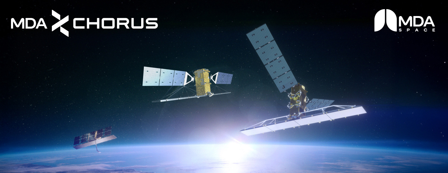
A central component of this initiative involves the integration of C-band synthetic aperture radar (SAR) technology provided by MDA Space. Unlike traditional optical imaging, SAR technology can penetrate cloud cover and operate in complete darkness, offering a continuous stream of high-resolution data. This capability is essential for accurate environmental monitoring and long-term scientific analysis.
To facilitate this transition, a technical session will be held to assist the scientific community in navigating these new datasets. The session will demonstrate how to combine MDA Space’s commercial SAR products with NASA’s established archives, ensuring researchers can effectively utilize these advanced tools to enhance their scientific findings.
Key Takeaways
- NASA is leveraging the CSDA program to integrate private-sector satellite data into its Earth science research.
- The partnership with MDA Space introduces advanced C-band synthetic aperture radar (SAR) capabilities, allowing for imaging through clouds and darkness.
- New technical resources and training will be provided to help researchers synthesize commercial data with existing government archives.
Editor’s Analysis & Impact
The shift toward integrating commercial satellite data into NASA’s Earth science portfolio represents a significant evolution in federal data acquisition strategies. By transitioning from a purely government-built infrastructure to a hybrid model, NASA can significantly reduce the costs and time associated with satellite deployment while simultaneously increasing the frequency and resolution of global observations. This partnership with MDA Space is a prime example of the growing ‘commercialization of space,’ where private entities provide critical infrastructure that government agencies then utilize for specialized research. This trend not only provides stable revenue for space-tech companies but also accelerates the pace of innovation in radar and imaging technologies. Ultimately, this collaborative ecosystem will likely become the blueprint for future environmental and climate monitoring efforts worldwide.
Frequently Asked Questions
Q: How does SAR technology improve Earth observation?
A: Synthetic aperture radar (SAR) is unique because it can capture high-resolution imagery regardless of weather conditions, cloud cover, or lighting, providing much more consistent data than standard optical sensors.
Q: What is the purpose of the CSDA program?
A: The Commercial Satellite Data Acquisition (CSDA) program is designed to identify and acquire high-quality data from commercial providers to supplement and enhance NASA's existing Earth science research and objectives.
AI Disclosure: This article is based on verified data and official reports. Our AI have cross-referenced every financial detail with primary sources to ensure total accuracy.
More from this Category