NASA Launches Airborne Science Mission Over Houston to Study Atmospheric Dynamics
NASA is set to conduct a series of research flights over the Houston area and the Gulf of Mexico, utilizing a fleet of five specialized aircraft to gather critical environmental data. The mission, which runs from June 3 to June 13, is part of the Student Airborne Research Program (SARP), an initiative designed to provide undergraduate students with hands-on experience in field research and atmospheric analysis.
During the operation, the aircraft will execute precise raster patterns—parallel back-and-forth flight paths—to deploy remote sensing payloads. These instruments are tasked with mapping the movement of atmospheric gases and particles, monitoring coastal atmospheric changes, and observing natural processes impacting local land and water ecosystems. While most flights will occur at higher altitudes, the mission includes a notable low-altitude component, with a NOAA-operated WP-3D Orion aircraft performing maneuvers as low as 1,000 feet above ground level.
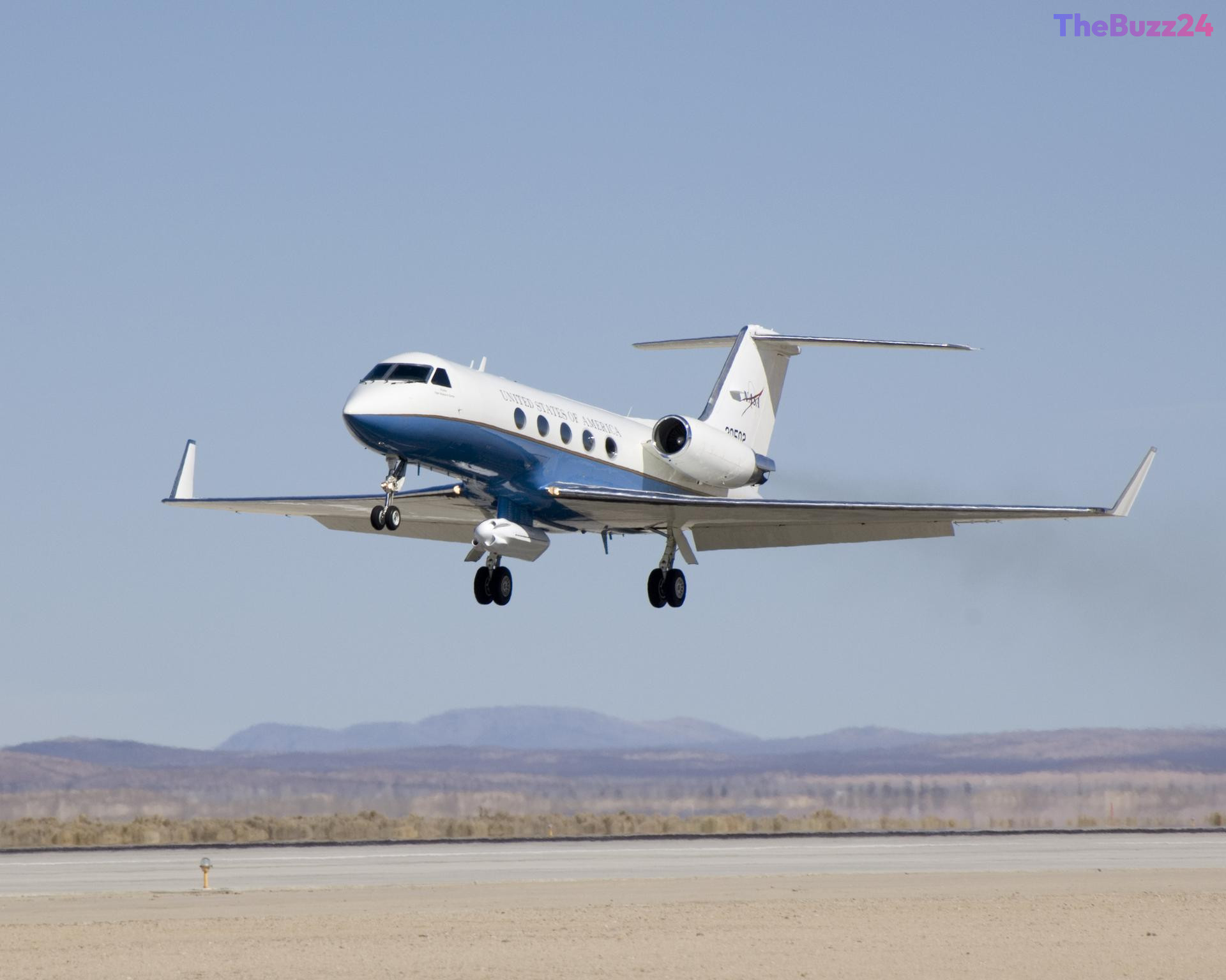
The research fleet includes a diverse array of aircraft, such as the Gulfstream V, C-20A, and Gulfstream III, alongside a King Air B200. These planes are outfitted with advanced scientific equipment, including synthetic-aperture radar, imaging spectrometers, and lidar systems. The public can monitor the progress of these flights in real time through the official NASA Airborne Science Program Tracker, providing transparency into the agency’s ongoing efforts to better understand Earth’s complex environmental systems.
Key Takeaways
- NASA is conducting a 10-day airborne research mission over Houston and the Gulf of Mexico to study atmospheric and environmental changes.
- The mission supports the Student Airborne Research Program (SARP), offering undergraduate students direct involvement in scientific data collection.
- The research fleet includes five aircraft equipped with advanced sensors, with some flights operating as low as 1,000 feet to gather precise environmental data.
Editor’s Analysis & Impact
This mission highlights the critical intersection of academic training and high-level environmental research. By integrating undergraduate students into real-world airborne science operations, the agency is effectively cultivating the next generation of atmospheric scientists while simultaneously addressing urgent data gaps regarding coastal and atmospheric health. The use of low-altitude maneuvers by the WP-3D Orion—a platform typically reserved for hurricane reconnaissance—underscores the versatility of existing research assets. From an industry perspective, the deployment of diverse remote sensing technologies, such as synthetic-aperture radar and imaging spectrometers, demonstrates a continued commitment to high-resolution Earth observation. As climate-related environmental shifts become more pronounced, the data harvested from these localized missions will be vital for refining predictive models and informing future environmental policy, proving that even short-term regional studies have significant long-term implications for global climate science.
Frequently Asked Questions
Q: What is the primary goal of the SARP mission?
A: The Student Airborne Research Program (SARP) aims to provide undergraduate students with hands-on experience in field research, data analysis, and the operation of airborne science laboratories.
Q: Can the public track these research flights?
A: Yes, the flights can be tracked in real time by visiting the NASA Airborne Science Program Tracker website.
AI Disclosure: This article is based on verified data and official reports. Our Team and AI have cross-referenced every financial detail with primary sources to ensure total accuracy.
More from this Category