Advanced Orbiting Observatories Team Up to Track El Niño and Forecast Severe Hurricanes
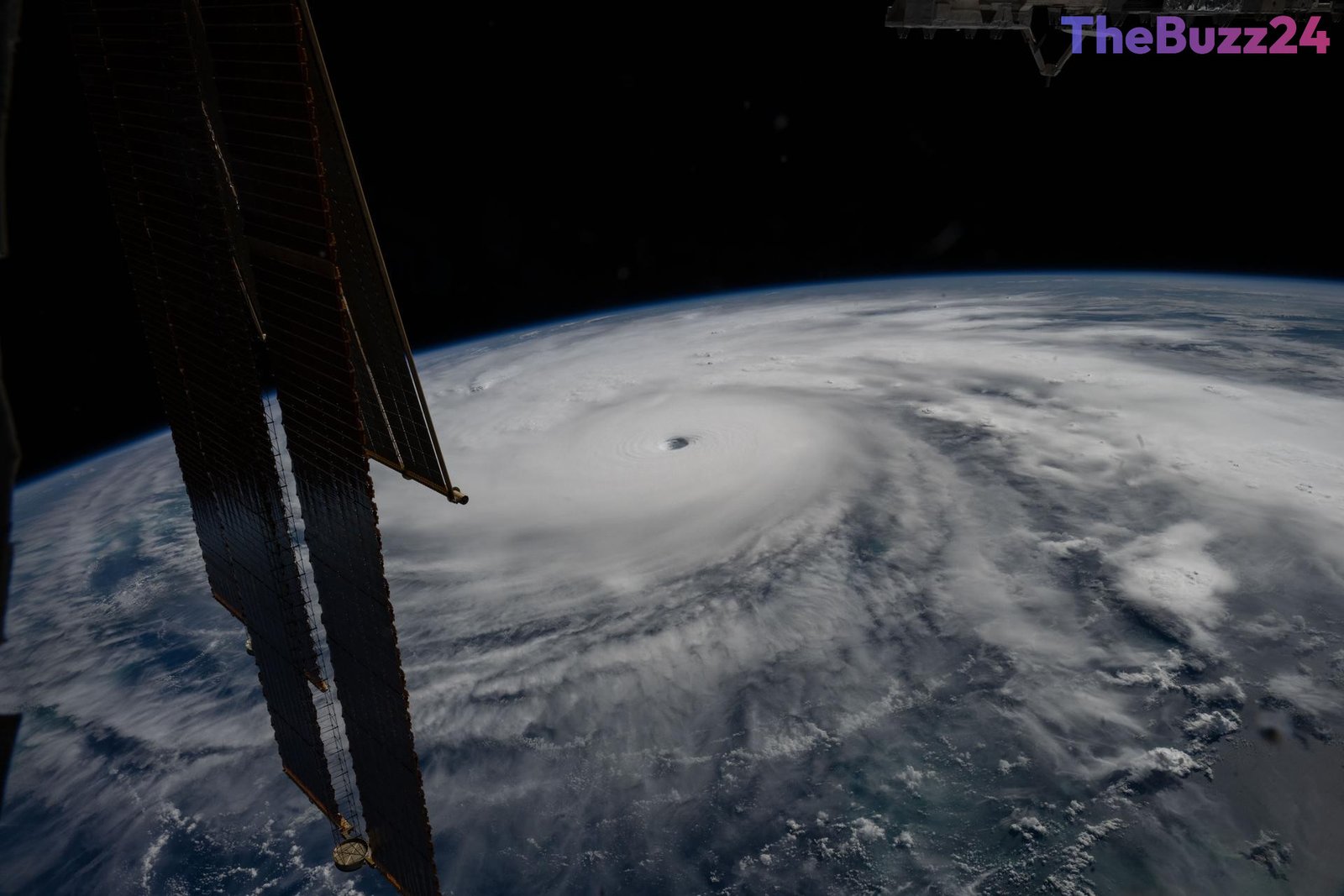
A powerful duo of Earth-observing satellites is currently tracking shifting ocean dynamics and providing critical data to improve severe weather forecasts. Operating in tandem in low-Earth orbit, these advanced spacecraft measure crucial metrics including sea surface height, wave dimensions, and marine wind speeds, offering unprecedented insight into global water temperatures during a major El Niño cycle.
The cooperative mission—combining the efforts of multiple international space agencies and meteorological organizations—relies on high-precision radar altimetry. By bouncing thousands of pulses per second off the ocean surface, the satellites accurately map variations in water height. Because warm water expands, these height measurements directly correlate with ocean heat content, a primary driver behind the rapid intensification of tropical storms and hurricanes.
In addition to sea level tracking, the spacecraft utilize secondary instruments to capture essential atmospheric profiles, measuring variables such as air pressure, humidity, and temperature. This continuous stream of low-latency telemetry feeds directly into sophisticated predictive algorithms utilized by emergency management and meteorological agencies worldwide. By enhancing the accuracy and lead time of hurricane trajectory and intensity forecasts, the initiative aims to provide coastal communities and local authorities with vital preparation windows to safeguard infrastructure and human lives.
Key Takeaways
- Two advanced Earth-observing satellites are flying in tandem to measure sea level heights and ocean heat content.
- The ongoing mission provides critical low-latency data to improve hurricane intensity and tracking models.
- Data gathered from the satellites helps meteorologists forecast rapid storm intensification, granting better preparation windows for coastal communities.
Editor’s Analysis & Impact
The integration of multi-agency satellite constellations into operational meteorology marks a significant leap forward in disaster preparedness and climate science. As global weather patterns become increasingly volatile due to shifting oceanic phenomena like El Niño, the demand for high-resolution, real-time oceanographic and atmospheric data is higher than ever. The ability to accurately predict rapid hurricane intensification not only minimizes economic disruption to shipping and coastal commerce but fundamentally redefines emergency response logistics. Moving forward, the continuity of these decades-long observational datasets will be crucial for refining predictive AI models, ultimately bridging the gap between raw space-based telemetry and actionable local emergency management policies.
Frequently Asked Questions
Q: How do the satellites measure ocean heat content?
A: The satellites use radar altimeters to bounce thousands of pulses per second off the ocean surface, measuring exact sea level heights. Because warm water expands, these height variations allow scientists to calculate ocean heat content.
Q: What role does El Niño play in hurricane activity?
A: El Niño causes warmer-than-usual Pacific waters to shift global weather patterns, weakening prevailing westward winds and spreading heat toward South America. This redistribution of heat typically alters storm activity and influences hurricane formation regions.
Q: How does this satellite data help emergency responders?
A: The data feeds into forecasting algorithms that predict hurricane strength and trajectory. This allows federal, state, and local agencies to issue timely evacuation orders, mobilize the National Guard, and prepare disaster response resources before landfall.
AI Disclosure: This article is based on verified data and official reports. Our Team and AI have cross-referenced every financial detail with primary sources to ensure total accuracy.
More from this Category