From Apollo to Artemis: The Technological Evolution of Earth Observation
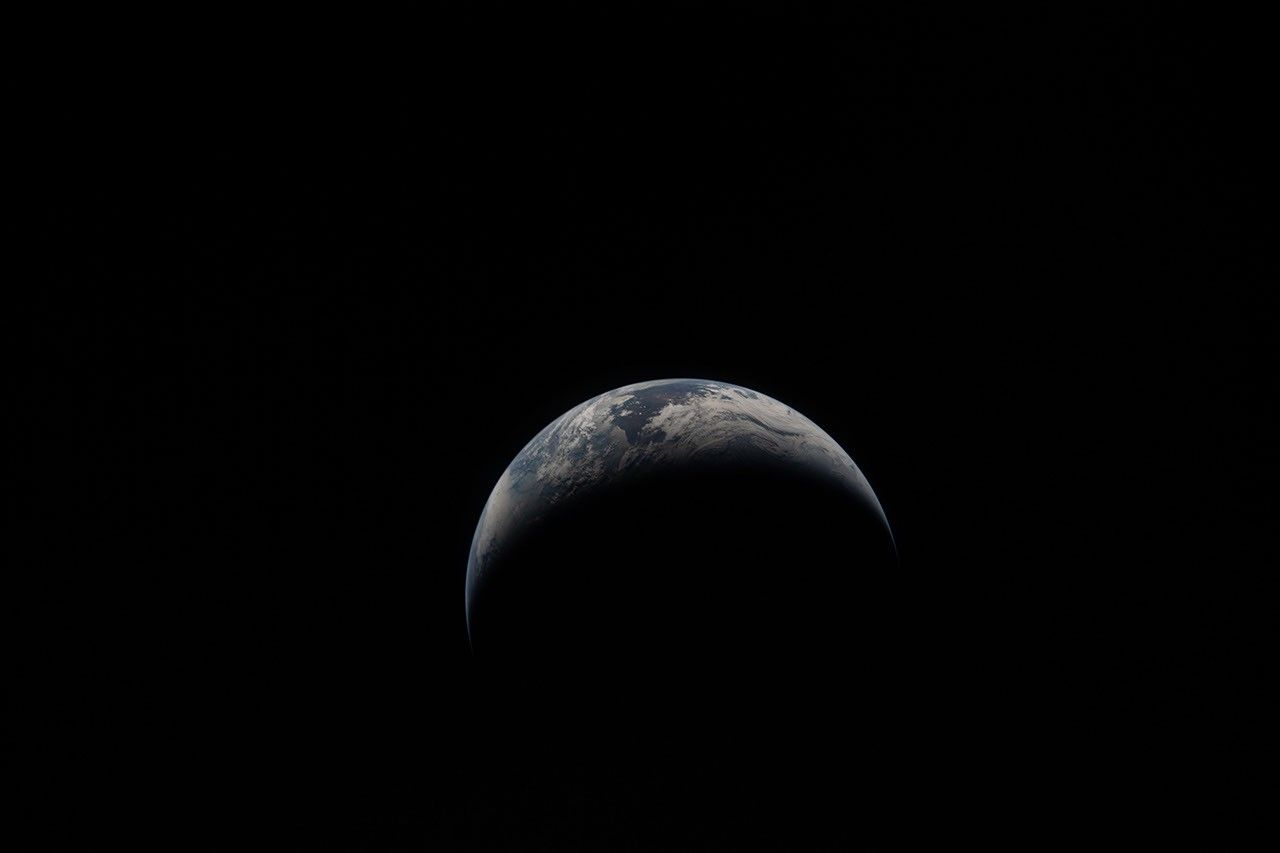
The legacy of Earth observation began with the iconic ‘Earthrise’ photograph captured during the 1968 Apollo 8 mission, a moment that fundamentally shifted humanity’s perspective on our home planet. This early milestone sparked a global environmental consciousness and set the stage for decades of scientific inquiry. Today, that mission continues through the Artemis program, as modern crews capture high-resolution imagery that serves as more than just a visual record; it provides critical data for understanding climate patterns, managing agricultural resources, and improving disaster response strategies for wildfires and floods.
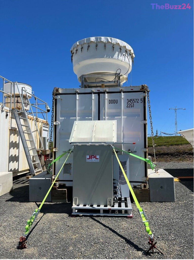
Technological advancements have moved far beyond the handheld cameras of the mid-20th century. The transition from basic photography to sophisticated space-based radar systems represents a massive leap in capability. Upcoming missions, such as the NASA-ISRO Synthetic Aperture Radar (NISAR), are designed to penetrate dense cloud cover and forest canopies, allowing researchers to monitor subtle shifts in the Earth’s crust. This level of precision is essential for tracking land subsidence and rising sea levels, providing vulnerable communities with the actionable intelligence needed to adapt to a changing environment.
Beyond surface-level monitoring, current satellite constellations have revolutionized our understanding of atmospheric and polar dynamics. Instruments like those on the PACE satellite and the GPM Core Observatory allow for the granular study of marine ecosystems and severe weather events, such as tropical cyclones. Furthermore, the ability to observe the planet at night has transformed how we measure human impact. Modern sensors can now detect light sources with such high resolution that they can track urban expansion and economic activity patterns, offering a comprehensive view of how human civilization interacts with the natural world.
Ultimately, the evolution of these observational tools underscores a commitment to planetary stewardship. By integrating data from historical missions with the high-fidelity insights provided by contemporary satellites, scientists are better equipped to model the planet’s future. This ongoing synthesis of information ensures that the data collected from orbit remains a vital resource for sustaining life and navigating the complexities of a rapidly evolving global climate.
Key Takeaways
- Earth observation has evolved from simple film photography in the 1960s to advanced synthetic aperture radar capable of penetrating clouds and mapping ground shifts.
- Modern satellite missions like NISAR and PACE provide critical data for disaster management, agricultural planning, and monitoring climate-driven environmental changes.
- Night-time satellite imagery now allows researchers to track global economic activity and urban development with unprecedented precision.
Editor’s Analysis & Impact
The evolution of Earth observation technology represents a shift from passive documentation to active, predictive environmental science. By moving toward high-resolution radar and multi-spectral imaging, the industry is transitioning into a ‘data-as-a-service’ model that is increasingly vital for global infrastructure and climate resilience. The ability to monitor everything from polar ice melt to urban electricity consumption creates a massive market for geospatial intelligence. As private and public sectors continue to invest in these satellite constellations, we can expect a surge in demand for AI-driven analytics that can process this influx of data into actionable policy. The broader implication is a future where planetary health is managed through real-time, high-fidelity monitoring, making environmental adaptation a data-backed reality rather than a reactive process.
Frequently Asked Questions
Q: How does modern radar technology improve Earth observation?
A: Unlike traditional optical cameras, synthetic aperture radar can penetrate clouds, smoke, and dense vegetation to map the Earth's surface, allowing scientists to detect minute changes in land elevation and structure.
Q: Why is night-time satellite imagery useful for scientists?
A: Night-time imagery allows researchers to track human activity, such as urban expansion and electricity usage, which serves as a proxy for measuring global economic development and population shifts.
AI Disclosure: This article is based on verified data and official reports. Our AI have cross-referenced every financial detail with primary sources to ensure total accuracy.
More from this Category