Curiosity Rover Reaches Mysterious Geologic Boundary on Mount Sharp
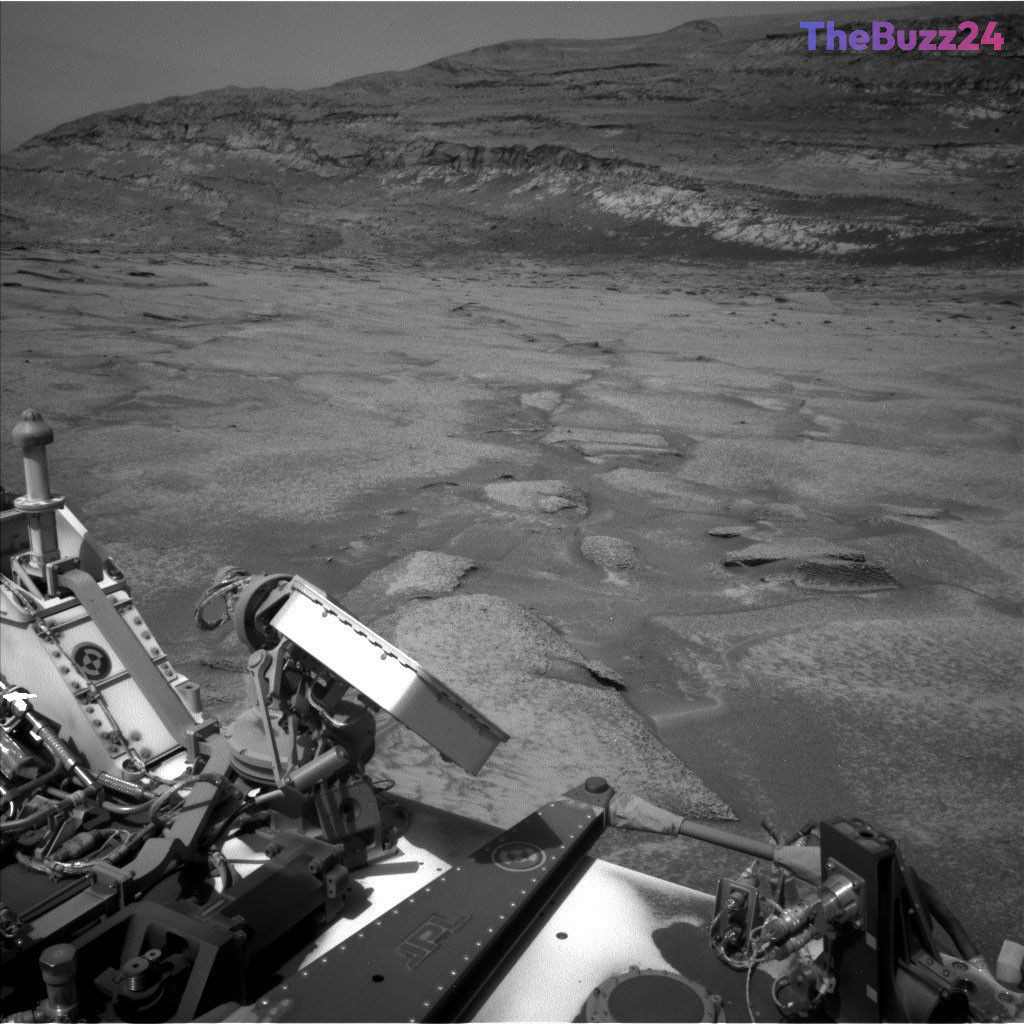
NASA’s Curiosity rover has arrived at a compelling geological formation on Mount Sharp, bringing researchers closer to uncovering a significant gap in the Martian rock record. As the robotic explorer continues its arduous ascent up the mountain, it has zeroed in on a distinct visual anomaly where light-colored rock strata sit directly beneath dark-colored layers. This configuration points toward what geologists classify as an erosional supersurface—an extensive boundary zone where prehistoric wind or water activity stripped away massive quantities of sediment long before newer layers accumulated overhead.
Operating on the Martian surface, the mobile laboratory utilized its advanced onboard tools to capture detailed imagery of the region, allowing scientists to study the structure from multiple vantage points. Following careful orbital analysis in previous months, the mission team successfully executed a series of maneuvers to position the rover directly at the base of the peculiar layer. By backing away initially to secure wide-angle visual mosaics and subsequently closing the distance, researchers managed to map out a safe traversal path through the challenging, sandy, and steeply inclined terrain surrounding the target area.
During the approach, the rover’s scientific payload engaged in intensive composition analysis of nearby rock formations. Instruments such as ChemCam, Mastcam, and the Alpha Particle X-ray Spectrometer targeted specific rock faces to gather high-resolution geochemical data. With the navigation route now selected to bypass the heaviest sand drifts and steep slopes, mission controllers anticipate directing the vehicle up and across the supersurface in the coming days, opening a new chapter in the ongoing exploration of Gale Crater’s ancient environmental history.
Key Takeaways
- Curiosity has arrived at a potential erosional supersurface on Mount Sharp, marking a significant break in the Martian rock record.
- The geological feature showcases light-colored rock strata sitting directly underneath dark-colored layers, suggesting ancient wind or water erosion.
- Mission operators have successfully mapped a safe driving route through the steep, sandy terrain to prepare the rover for crossing the boundary.
Editor’s Analysis & Impact
The ongoing ascent of Mount Sharp by the Curiosity rover continues to yield critical insights into the geological and climatic history of early Mars. Identifying and crossing erosional supersurfaces is vital because these unconformities act as missing pages in a planetary diary, representing spans of time where environmental conditions shifted dramatically. By analyzing the physical composition and centimeter-scale geometry of these boundaries, planetary scientists can better understand the shifting interplay between aeolian and aqueous forces on ancient Mars. This research not only refines our geological models of Gale Crater but also sharpens our broader understanding of planetary evolution and the ancient conditions that once shaped the Red Planet.
Frequently Asked Questions
Q: What is an erosional supersurface?
A: An erosional supersurface is a geological term describing a regional boundary where layers of sediment were stripped away by wind or water before newer layers were deposited, creating a distinct gap in the rock record.
Q: Why is the Curiosity rover exploring Mount Sharp?
A: Mount Sharp features stratified sedimentary rock layers that act as a timeline of Martian history, allowing scientists to study how the planet's climate and environment changed over millions of years.
Q: What instruments are being used to analyze this geological feature?
A: The research team is utilizing a combination of Curiosity's tools, including Mastcam for wide mosaics, ChemCam for long-distance and elemental targeting, and MAHLI and APXS for close-up rock composition analysis.
AI Disclosure: This article is based on verified data and official reports. Our Team and AI have cross-referenced every financial detail with primary sources to ensure total accuracy.
More from this Category