Satellite Data Powers Advanced River Forecasting Amidst Western Drought
As the western United States grapples with the lingering effects of a significant 2026 snow drought, advanced machine-learning models are proving essential for water management and public safety. By integrating high-resolution satellite observations with traditional weather data, utilities are gaining unprecedented foresight into river flow patterns, allowing for more precise control over hydroelectric reservoirs and water supply distribution.
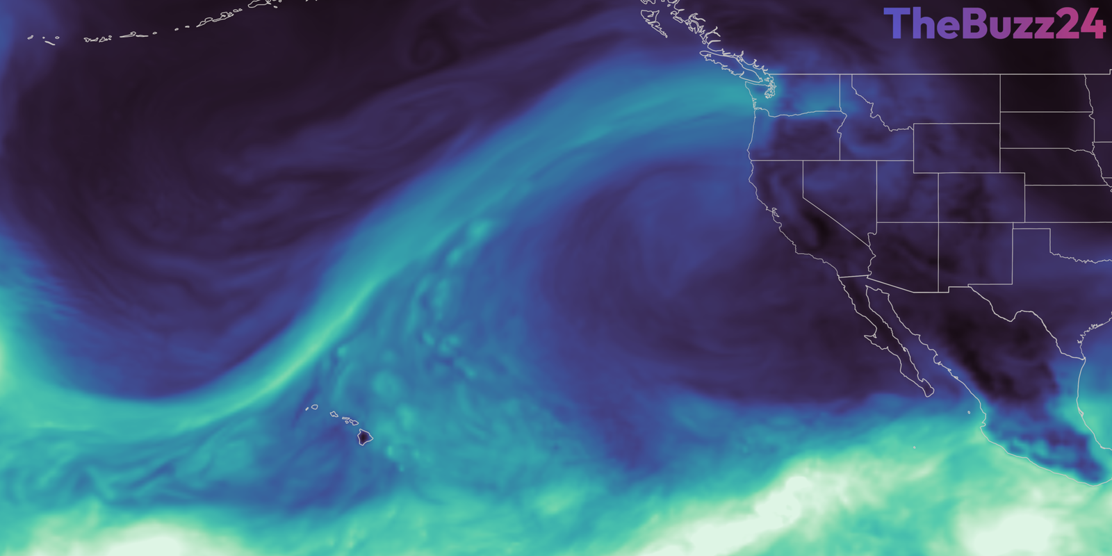
In Washington state, Tacoma Power has turned to the HydroForecast platform—developed by Upstream Tech—to navigate a year of extreme hydrological volatility on the Cowlitz River. The system utilizes satellite-derived data on snow cover and vegetation health to generate river-flow predictions updated every two hours. This granular data allows reservoir managers to anticipate sudden inflow surges from atmospheric rivers while simultaneously preparing for prolonged dry spells caused by diminished mountain snowpack.
The reliance on satellite intelligence has become a critical component of modern infrastructure management. During the 2025-2026 winter season, which saw record-low snow cover, these predictive models enabled operators to maintain reservoir levels near historical averages despite a severe spring drought. By balancing the immediate need for flood mitigation during storms with the long-term necessity of water storage for summer demand, utilities are better equipped to support regional power grids and protect aquatic habitats.
Beyond individual utility projects, the integration of satellite data is becoming a standard practice for federal and state agencies. From the Colorado Basin to California’s San Joaquin Valley, water managers are increasingly utilizing satellite-based snow and groundwater assessments to inform drought monitoring and resource allocation. This shift toward data-driven decision-making represents a significant evolution in how the nation manages its most vital natural resources in an era of changing climate patterns.
Key Takeaways
- Machine-learning models are now integrating satellite-derived snow and vegetation data to provide near real-time river flow forecasts.
- Utilities like Tacoma Power are using these advanced predictions to manage reservoir levels effectively during periods of extreme weather volatility.
- Federal and state agencies are increasingly adopting satellite-based data to improve the accuracy of drought assessments and water supply management across the Western U.S.
Editor’s Analysis & Impact
The integration of satellite-based Earth observation data into commercial and public utility operations marks a pivotal shift in climate adaptation strategies. By bridging the gap between raw orbital data and actionable operational intelligence, the energy and water sectors are significantly reducing their vulnerability to extreme weather events. The success of these machine-learning models suggests a growing market for ‘climate-resilient’ software solutions that can translate complex environmental data into immediate, high-stakes decision-making tools. As climate patterns continue to fluctuate, the reliance on such predictive technologies will likely become a standard requirement for infrastructure stability, potentially driving further investment in satellite-to-ground data pipelines and AI-driven resource management systems.
Frequently Asked Questions
Q: How does satellite data improve river flow forecasting?
A: Satellite data provides consistent, wide-area measurements of snow cover and vegetation health, which are critical indicators of how much water will eventually flow into rivers. This fills gaps where ground-based sensors are sparse or inaccessible.
Q: Why is the 2026 snow drought significant for hydroelectric power?
A: Hydroelectric power relies on steady water flow from melting snowpack. When precipitation falls as rain instead of snow, water rushes into reservoirs too quickly during winter and leaves little supply for the summer, forcing utilities to balance flood risk with water storage needs.
AI Disclosure: This article is based on verified data and official reports. Our Team and AI have cross-referenced every financial detail with primary sources to ensure total accuracy.
More from this Category