Hezbollah Deploys Advanced Fibre-Optic Drone Tactics Along Northern Border
, ,

Hezbollah Deploys Advanced Fibre-Optic Drone Tactics Along Northern Border

Hezbollah has shifted its tactical approach in the ongoing conflict with Israel by increasingly utilizing fibre-optic, first-person view (FPV) drones. These explosive-laden devices represent a significant evolution in border warfare, as the physical wire connection allows operators to bypass traditional radio-frequency jamming measures. By maintaining a constant, high-definition visual feed, these drones can strike targets […]


US and Iran Navigate High-Stakes Negotiations to Ease Regional Tensions
, , ,

US and Iran Navigate High-Stakes Negotiations to Ease Regional Tensions

The United States and Iran are currently locked in intensive diplomatic discussions aimed at establishing a framework to de-escalate regional hostilities. While both parties have signaled a willingness to engage, significant hurdles remain, particularly concerning the technical parameters of Iran’s nuclear enrichment program. Although there is a sense of cautious optimism, officials have clarified that […]

Charting the Next Decade: Landsat Science Team Unveils Strategic Roadmap for Earth Observation
, , ,

Charting the Next Decade: Landsat Science Team Unveils Strategic Roadmap for Earth Observation

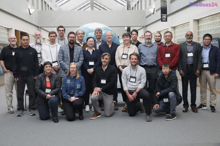
The 2026-2030 Landsat Science Team has officially established a comprehensive strategic roadmap following its inaugural meeting at the USGS Earth Resources Observation and Science (EROS) Center in South Dakota. Bringing together experts from NASA and the USGS, the summit focused on defining the trajectory of the Landsat program, with a specific emphasis on the upcoming […]

Satellite Radar Breakthrough Revolutionizes Crop Monitoring in South Africa’s Maize Triangle
, , ,

Satellite Radar Breakthrough Revolutionizes Crop Monitoring in South Africa’s Maize Triangle

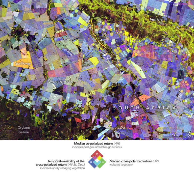
Advanced satellite radar technology is providing an unprecedented look at the agricultural dynamics within South Africa’s Free State province. By leveraging data from the NASA-ISRO Synthetic Aperture Radar (NISAR) mission, researchers have successfully mapped the region’s growing season, transforming complex radar signals into high-resolution visualizations that track crop development throughout the 2025-2026 cycle. The mapping […]