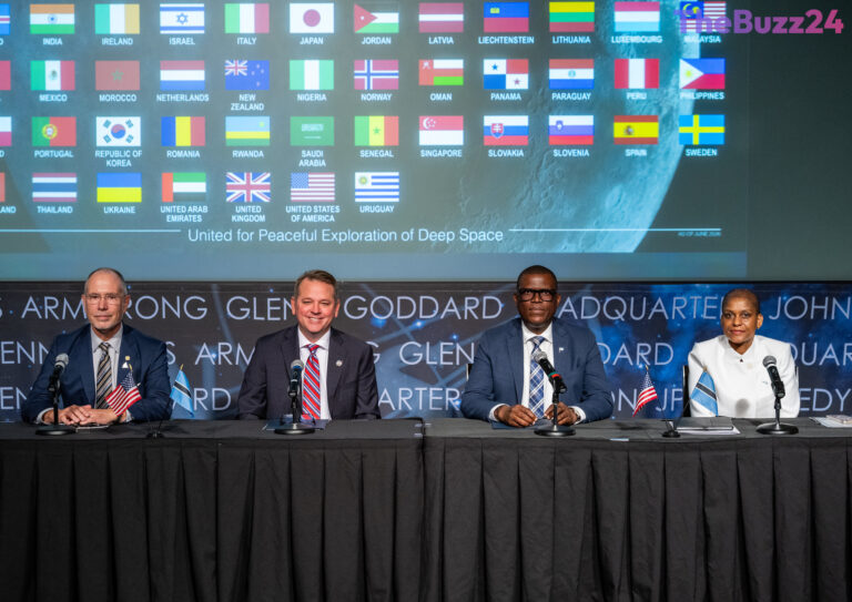
The Republic of Botswana has officially become the 68th nation to sign the Artemis Accords, marking a significant expansion of international cooperation in space exploration. The signing ceremony, held at the NASA headquarters in Washington, D.C., solidifies Botswana’s commitment to the peaceful, transparent, and sustainable use of outer space alongside a growing coalition of global […]