Massive Cottonwood Fire Devastates Utah Landscape, Destroying Homes and Ski Resort
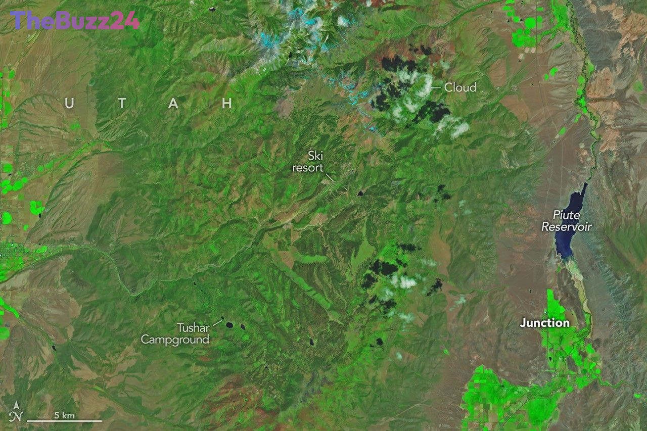
A significant wildfire, dubbed the Cottonwood fire, has ravaged over 150 square miles of rugged terrain northwest of Junction, Utah, leaving a trail of destruction in its wake. Satellite imagery captured before and after the blaze vividly illustrates the dramatic transformation, with lush green landscapes replaced by vast expanses of scorched earth. The fire, which ignited following a dry winter and an unusually warm, early summer, underscores growing concerns about wildfire risk in the western United States.
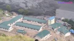
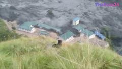
By early July 2026, the Cottonwood fire had become one of the largest and most destructive blazes of the year, consuming an area nearly as large as the Babylon fire in eastern Utah. The inferno decimated a variety of vegetation, including ponderosa pine, oak, sagebrush, and grasses. Officials reported that up to 150 structures were lost, with the Eagle Point Ski Resort suffering particularly heavy damage, including over 100 condos and 30 cabins, as well as significant damage to four of its five chairlifts. Despite the widespread devastation, some areas, like the forests surrounding Tushar Campground, were spared, a success attributed to proactive forest management practices such as brush clearing and branch trimming.
Advanced satellite technology played a crucial role in monitoring the fire’s progression. NASA’s Fire Events Data Suite (FEDS), utilizing data from VIIRS sensors, tracked the fire’s rapid spread, including a period where it tripled in size over just 12 hours. This system provides consistent, accessible data that can detect fires early and monitor them throughout their duration, offering valuable support to firefighters and emergency management officials. As of July 7, 2026, the Cottonwood fire was 56 percent contained, but with a persistent hot and dry weather pattern expected, fire behavior was anticipated to remain highly active.
Key Takeaways
- The Cottonwood fire in Utah has burned over 150 square miles, destroying numerous structures including a ski resort.
- The wildfire occurred after a dry winter and warm summer, highlighting increased wildfire risks in the western U.S.
- Satellite monitoring tools like NASA's FEDS are crucial for tracking and managing large-scale wildfires.
Editor’s Analysis & Impact
The Cottonwood fire serves as a stark reminder of the escalating wildfire threat in drought-prone regions, exacerbated by climate change and dry conditions. The extensive damage to homes, infrastructure, and natural landscapes has significant economic and ecological implications for Utah. The destruction of the Eagle Point Ski Resort, a key tourism asset, will likely impact local economies. Furthermore, the sheer scale of the fire and its rapid spread underscore the challenges faced by fire management agencies. The reliance on advanced satellite data, as demonstrated by NASA’s FEDS, highlights the critical role of technology in early detection and ongoing monitoring, but also points to the need for continued investment in preventative measures and robust response strategies to mitigate future disasters.
Frequently Asked Questions
Q: What caused the Cottonwood fire?
A: The Cottonwood fire was primarily caused by dry conditions following a winter of below-average snowpack and an unusually warm and dry start to the summer, creating a high risk for wildfires.
Q: How large was the Cottonwood fire?
A: The Cottonwood fire burned over 150 square miles (390 square kilometers) of terrain northwest of Junction, Utah.
Q: What kind of damage did the Cottonwood fire cause?
A: The fire destroyed up to 150 structures, including condos and cabins at the Eagle Point Ski Resort, and damaged its chairlifts. It also burned extensive areas of forest, sagebrush, and grasses.
AI Disclosure: This article is based on verified data and official reports. Our Team and AI have cross-referenced every financial detail with primary sources to ensure total accuracy.
More from this Category