NASA and USDA Forge Alliance for Agricultural Innovation and Earth Science
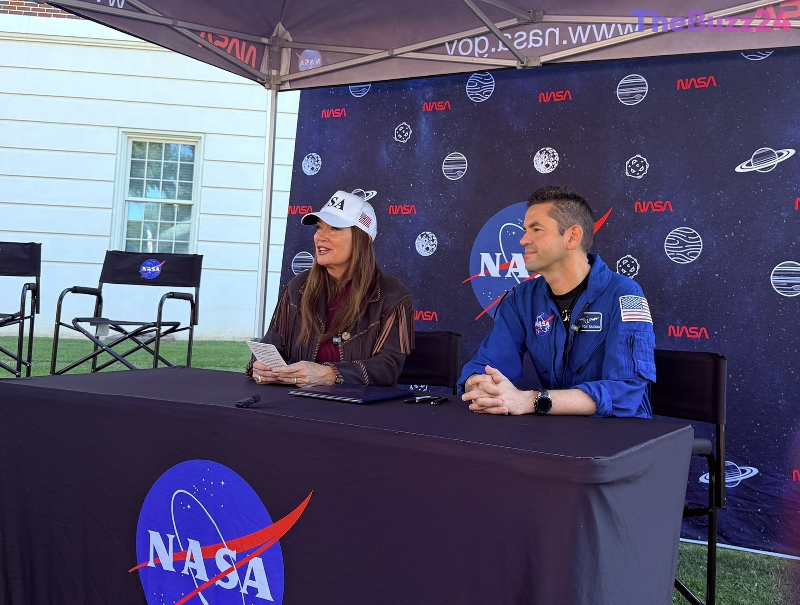
The U.S. Department of Agriculture (USDA) and NASA have formalized an expanded partnership aimed at advancing Earth observation, geospatial analytics, and cutting-edge data technologies to bolster American agriculture. U.S. Secretary of Agriculture Brooke Rollins and NASA Administrator Jared Isaacman signed a Memorandum of Understanding (MOU) on October 24 at the University of Alabama in Tuscaloosa, marking a significant step in supporting the USDA’s data modernization initiatives.
This agreement deepens a longstanding collaboration between the two agencies, focusing on enhanced data integration and improved coordination across Earth observation and agricultural applications. Under the new framework, NASA and USDA will explore joint activities in areas such as agricultural statistics, remote sensing science, advanced modeling, geospatial data engineering, and super intelligence. The objective is to better align Earth observation data and analytical tools with the specific needs of the agricultural sector.
The partnership is expected to yield substantial benefits for farmers, ranchers, and policymakers. By leveraging NASA’s sophisticated sensing, computing, and analytical capabilities, the initiative aims to improve crop monitoring, refine acreage and yield estimates, and enhance assessments of drought and other natural disasters. This will strengthen USDA’s data systems and provide more timely and reliable information, ultimately driving profitability and competitiveness for American agriculture.
Administrator Isaacman highlighted the importance of deploying NASA’s advanced tools to deliver meaningful outcomes for the American people, emphasizing that combining NASA’s expertise with USDA’s agricultural knowledge will strengthen understanding of crop conditions and natural hazards. Secretary Rollins underscored the commitment of the Trump Administration to utilizing technology, research, and development to fortify U.S. agriculture, ensuring that American farmers have access to innovative solutions.
Key Takeaways
- NASA and USDA signed an MOU to enhance cooperation in Earth observation and data technologies for U.S. agriculture.
- The partnership aims to improve crop monitoring, yield estimates, and disaster assessment through advanced data analytics.
- The collaboration seeks to provide farmers, ranchers, and policymakers with more timely and reliable information, boosting agricultural competitiveness.
Editor’s Analysis & Impact
This strategic alliance between NASA and the USDA represents a significant leap forward for the agricultural sector, promising to integrate cutting-edge space technology with terrestrial farming practices. The market impact could be substantial, fostering innovation in precision agriculture, agritech, and data analytics, potentially leading to more efficient resource utilization and reduced crop losses. The future outlook suggests a trend towards data-driven farming, enhancing food security and supply chain resilience. Broader implications include a stronger national agricultural economy, improved disaster preparedness, and a model for inter-agency collaboration leveraging scientific advancements for critical industries. This partnership underscores the increasing reliance on advanced technology to address complex challenges on Earth.
Frequently Asked Questions
Q: What is the primary goal of the NASA-USDA agreement?
A: The primary goal is to expand cooperation in Earth observation, geospatial analytics, and advanced data technologies to support USDA's data modernization plan for U.S. agriculture.
Q: How will this partnership benefit American farmers and ranchers?
A: It will provide farmers and ranchers with more timely and reliable information, improving crop monitoring, acreage and yield estimates, and assessments of drought and other natural disasters, ultimately enhancing profitability and competitiveness.
Q: What specific technologies will be utilized in this collaboration?
A: The agreement focuses on leveraging NASA's advanced sensing, computing, and analytical capabilities, including remote sensing science, modeling, geospatial data engineering, and super intelligence, to analyze large datasets relevant to agriculture.
AI Disclosure: This article is based on verified data and official reports. Our Team and AI have cross-referenced every financial detail with primary sources to ensure total accuracy.
More from this Category