NASA Launches October 2026 Satellite Image Challenge to Test Earth Geography Enthusiasts
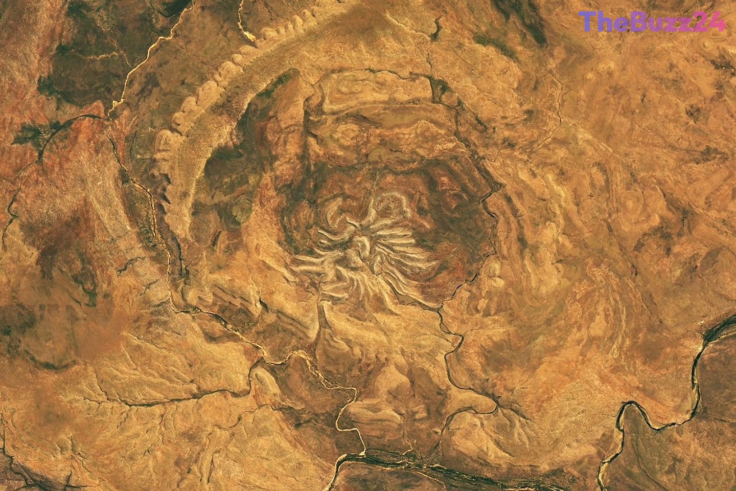
NASA has officially kicked off its highly anticipated monthly satellite image challenge for October 2026, inviting geography enthusiasts, amateur scientists, and space observers from around the globe to test their visual decoding skills. The initiative presents participants with a mysterious, high-resolution satellite image of Earth, challenging them to identify the exact location captured from orbit.
To participate, contestants must analyze the unique geological formations, water bodies, or human-made structures visible in the image. Beyond simply guessing the coordinates or name of the location, advanced participants are encouraged to identify the specific satellite and imaging instrument used, the spectral bands employed to capture the data, and any historical or geological context that makes the site unique.
While the challenge does not offer monetary rewards or space travel, the ultimate prize is the coveted “bragging rights” within the global Earth observation community. The correct location, along with a detailed breakdown of the science and history behind the image, will be revealed in approximately one week. The first person to submit the correct answer, along with those who provide the most insightful and detailed analyses, will receive public recognition.
This recurring challenge highlights the growing accessibility of satellite data and its role in fostering public interest in Earth science. By engaging the public in remote sensing technology, the initiative bridges the gap between complex space-based data collection and everyday curiosity about our planet’s diverse landscapes.
Key Takeaways
- NASA has released its October 2026 satellite image puzzle, challenging the public to identify a mystery location on Earth.
- Participants are encouraged to go beyond basic geography by identifying the satellite, imaging instruments, and spectral bands used.
- The challenge aims to promote public engagement with Earth science and remote sensing technology, with winners receiving community recognition.
Editor’s Analysis & Impact
This monthly satellite puzzle represents a highly effective strategy in public science communication, transforming complex remote sensing data into an interactive, gamified experience. By encouraging participants to identify specific satellites, spectral bands, and geological features, the initiative fosters a deeper public understanding of Earth observation technologies. In an era where climate change and environmental monitoring are critical, cultivating a community of amateur analysts can have broader implications. It democratizes access to space data and inspires the next generation of geoscientists. Furthermore, as commercial satellite imagery becomes more ubiquitous, such initiatives highlight the dual utility of orbital data for both scientific research and public education, proving that space exploration’s value is deeply tied to how we understand and protect our own planet.
Frequently Asked Questions
Q: How can I participate in the satellite image challenge?
A: Participants can submit their guesses and detailed analyses through the official submission form provided by the challenge organizers, selecting the 'Puzzler Answer' topic.
Q: What details should be included in a submission to stand out?
A: To impress the organizers, submissions should include the specific satellite and instrument used, the spectral bands, and unique geological or historical details about the location.
Q: What are the prizes for winning the challenge?
A: There are no monetary prizes or trips to space; instead, winners receive public recognition and 'bragging rights' within the Earth observation community when the answer is revealed.
AI Disclosure: This article is based on verified data and official reports. Our Team and AI have cross-referenced every financial detail with primary sources to ensure total accuracy.
More from this Category