Historic Nebraska Wildfire Scorches 640,000 Acres in Record-Breaking Blaze
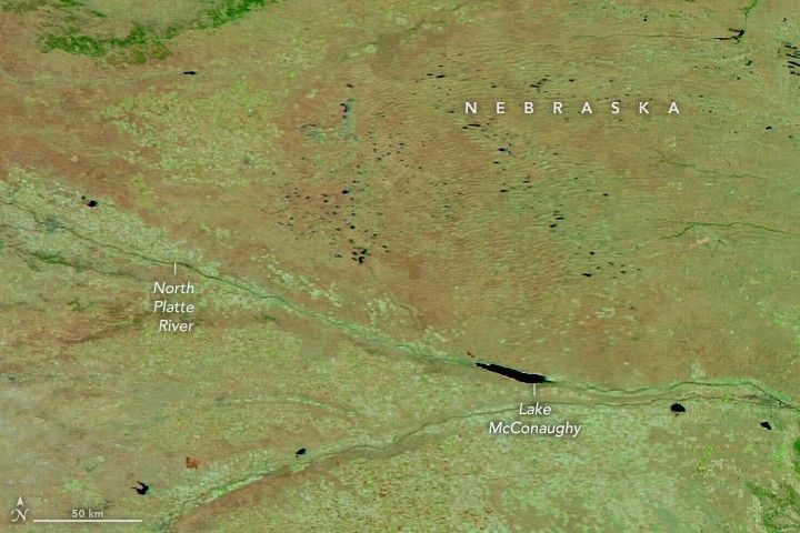
Western Nebraska is reeling from the aftermath of the largest wildfire in the state’s recorded history, a massive inferno that decimated over 640,000 acres of prairie land. The blaze, which originated in Morrill County on March 12, 2026, was fueled by extreme wind conditions that allowed the fire to tear across 70 miles of landscape in less than half a day. Firefighting crews worked tirelessly for over two weeks, finally achieving full containment on March 29.
This disaster highlights a concerning trend in the United States, where the 2026 wildfire season has already proven to be significantly more destructive than historical norms. National data reveals that by the end of March, more than 15,000 fires had scorched 1.5 million acres across the country, far outpacing the typical ten-year average for the same period. Meteorologists and environmental scientists point to a dangerous combination of persistent drought, desiccated vegetation, and unseasonably high temperatures as the primary drivers of this surge.
The impact on the local economy has been profound, particularly for the ranching and agricultural communities that serve as the backbone of the region. Reports confirm widespread destruction of critical infrastructure, including barns and fencing, alongside significant losses of livestock. Furthermore, the fire threatened the ecological integrity of the Crescent Lake National Wildlife Refuge. Despite the scale of the devastation, local wildlife, including the sandhill cranes migrating through the Platte River valley, have shown resilience as the region begins the long process of recovery.
Key Takeaways
- A record-breaking wildfire in Morrill County, Nebraska, consumed 640,000 acres of land.
- The 2026 U.S. wildfire season is significantly outpacing the ten-year average, with 1.5 million acres burned by late March.
- The fire caused severe economic damage to the regional ranching industry and threatened protected wildlife habitats.
Editor’s Analysis & Impact
The Nebraska wildfire represents a critical inflection point for land management and environmental policy in the Great Plains. The unprecedented speed at which this fire traveled suggests that existing containment protocols are increasingly inadequate against the backdrop of climate-driven volatility. For the agricultural sector, this event signals a shift toward higher operational risks, likely resulting in increased insurance premiums and a mandatory re-evaluation of land management practices to reduce fuel loads. The broader implication is that the Midwest, traditionally viewed as less susceptible to the catastrophic fire cycles seen in the West, must now prepare for a new reality. Future resilience will depend on integrating advanced predictive modeling with proactive, large-scale vegetation management to mitigate the impact of what is becoming an increasingly aggressive and unpredictable wildfire season.
Frequently Asked Questions
Q: What primary environmental factors fueled the rapid spread of the Nebraska fire?
A: The fire's rapid expansion was driven by a combination of high-velocity winds, persistent drought conditions, and unseasonably warm weather that left vegetation extremely dry.
Q: How does the current wildfire season compare to historical averages?
A: The 2026 season is significantly more active than usual; by late March, 15,000 fires had already burned 1.5 million acres, a figure that far exceeds the ten-year seasonal average.
AI Disclosure: This article is based on verified data and official reports. Our Team and AI have cross-referenced every financial detail with primary sources to ensure total accuracy.
More from this Category